
Find Virginia Neighbors Around an Address
For Virginia neighbors around one address, the strongest starting point is a parcel map, followed by the local assessment card and recorded land documents. These sources show boundaries and owners of record. They do not name every person who occupies each property. The records are split among each county and independent city, so confirm the locality before opening its tax or deed system.
| Block source or field | What it can show | Access and caution |
|---|---|---|
| VGIN or local parcel map | Parcel lines, identifiers, owner fields, and situs or mailing address | Public map service or locality GIS; confirm in the local assessment system |
| LOCALITY | Routes the parcel to its county or independent-city records office | Postal city names may not match the legal locality. |
| PARCELID, GPIN, PIN, MapNumber | Crosswalks into local tax, GIS, and deed systems | Values can change after a split or merger. |
| Owner1, Owner2 | Owner-of-record lead for a parcel | These fields do not identify current occupants. |
| Address, City, State, Zip | Situs location and postal cross-check | VGIN is not a certified tax card. |
| M_Address, M_City, M_State, M_Zip | Separate tax-mailing address | May be an agent, post-office box, or stale address. |
| LASTUPDATE and geometry | Data freshness and adjacent-parcel map query | Locality update schedules differ; geometry does not prove occupancy. |
| Assessment card | Tax parcel, owner of record, values, exemptions, and local history where offered | Local portal, counter, phone, or written request |
| Deed, plat, or easement | Recorded parties, legal description, shared lines, and prior parcel changes | Circuit clerk index, public terminal, image access, or clerk copy |
| Voter information | Limited name, address, year-of-birth, gender, and district fields under permitted access | Eligible list access or public inspection; no block-level search |
| Local civic or historic source | Public organization contacts, meetings, districts, and dated neighborhood context | Local government, library, DHCD program, or archive |
Virginia's public systems do not form one neighborhood roster. An owner name can be carried into the deed index, while the map helps define which parcels touch or lie near the subject property. Voter files have separate access limits, and local groups decide which contact details they publish. Keep those sources distinct when noting who your neighbors might be.
Map Adjacent Virginia Parcels
VGIN's statewide parcel layer includes a polygon for each mapped parcel and supports spatial queries. Open the subject parcel in the local GIS or the Virginia VA_Parcels service, then identify the polygons that share a boundary or fall within the area you mean by “nearby.” A corner lot may face more than one street. A road, alley, river, rail line, or condominium boundary can make a nearby shape legally separate.
The Virginia GIS Clearinghouse lists data downloads, REST services, and map applications that help locate the parcel layer.
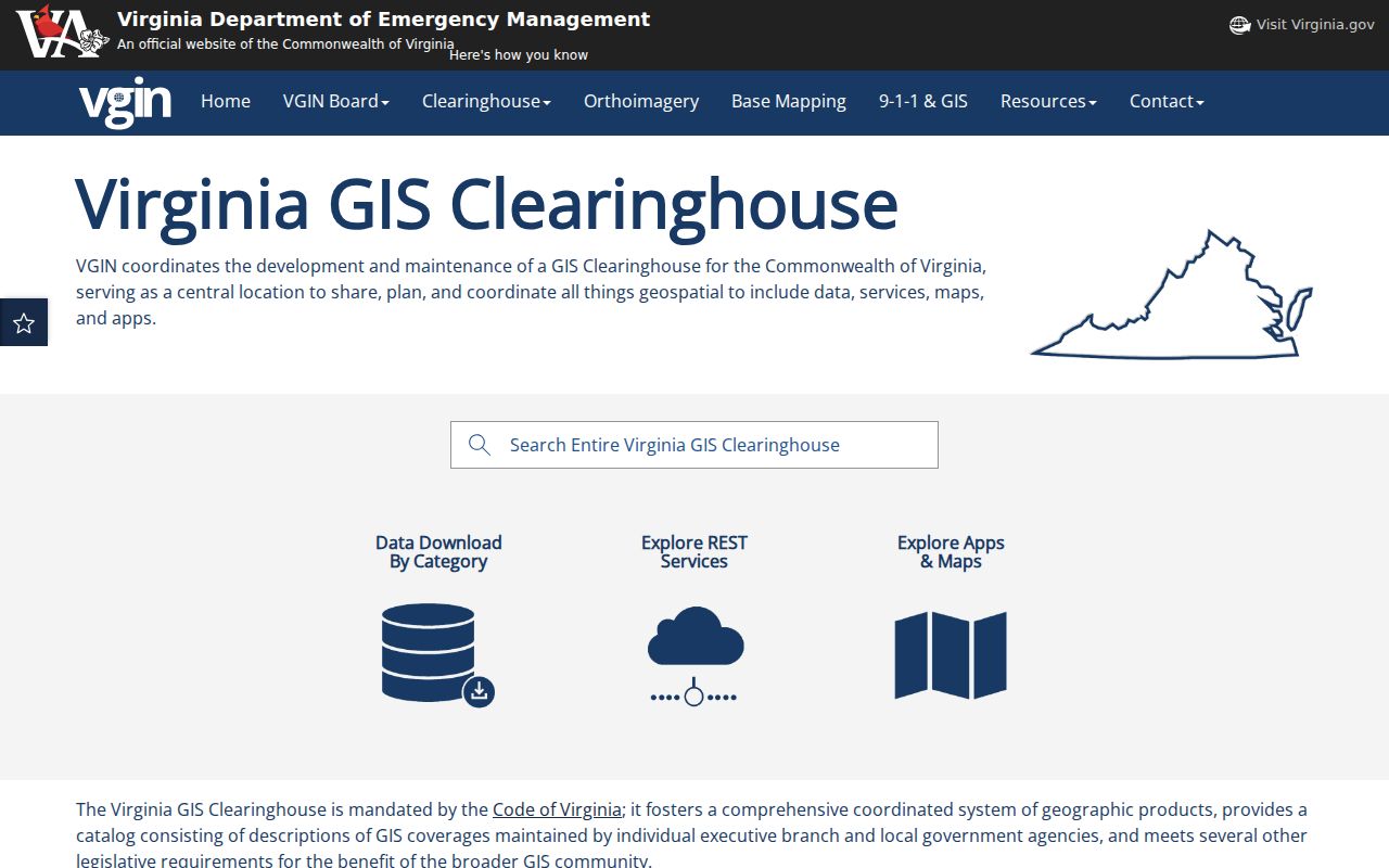
The Clearinghouse is a route to services and maps; local viewers may add more layers than the statewide parcel service. Use the locality's own GIS for local context.
Use this sequence to keep a block search tied to land records:
- Search the address and save its locality, parcel identifier, map date, and geometry.
- Click adjacent parcels or draw a small map extent around the subject lot; note whether the boundary actually touches.
- For each parcel, record the owner fields and situs and mailing addresses, then verify them in the local assessment card.
- Use the circuit clerk's deed and plat index to check shared lines, easements, lot splits, and prior transfers.
The VGIN service supports query, distance, pagination, and GeoJSON or PBF output, but returns at most 2,000 records per response. Narrow a broad query by locality or address. For the full named-street chain, continue with the Virginia street directory workflow, which follows the address into assessment and deed sources.
Virginia Owner and Address Fields
Virginia's map layer identifies parcels and owners of record. It does not show who sleeps at an address. Compare the situs fields, which describe the mapped location, with the mailing fields used for tax correspondence. A different mailing address may be a post-office box, an agent, or an older entry, so save the update date and confirm each owner in the locality's assessment system.
A sample parcel result can be recorded in groups rather than copied as a full data row:
- Locality and identifiers: LOCALITY, PARCELID, GPIN, PIN, MapNumber, and VGIN_QPID if supplied.
- Owner of record: Owner1 and Owner2.
- Situs location: Address, City, State, and Zip.
- Tax mailing route: M_Address, M_City, M_State, and M_Zip.
- Map and freshness: geometry and LASTUPDATE, to be checked against the local card.
- Parcel
- A mapped piece of land identified in local tax and deed systems.
- Owner of record
- The person or entity named in the current property record; it does not establish who occupies the site.
- Situs and mailing address
- The physical parcel location and the separate destination for tax correspondence.
- Geometry
- The mapped boundary used to see which parcel polygons touch or lie within a selected distance.
Virginia Plats and Shared Boundaries
A GIS line is a useful locator, but a deed or recorded plat supplies the legal description for the land. Virginia circuit court clerks hold deeds, deeds of trust, plats, easements, and other land records. Some clerks provide an online index, but the years and image rules vary by locality. When a web index ends, use the clerk's counter or public terminal, request a copy from the clerk, or check the Library of Virginia's locality microfilm guide.
Search both sides of a transfer. A deed's grantor is the person giving title, and the grantee receives it. A plat can show lot and block labels, subdivision changes, a shared drive, easements, and road dedications. If two parcels appear to meet on a map but the recorded descriptions differ, keep the discrepancy open until the clerk's copy or local survey resolves it.
Virginia Voter Lists at Block Level
Virginia public voter lists have limited access. The statutes define the recipients and product types, and permit public inspection of specific records. A list may include name, address, year of birth, gender, and election districts, while excluding SSN, day and month of birth, protected residence addresses, and other restricted fields. Recipients may not publish the list online as a searchable database or pass it on for that purpose. Check Virginia Code § 24.2-405 and § 24.2-444 before requesting or using a list. The Department of Elections posts a voter-list request form for defined products; local registrars also provide inspection of required public lists.
Protected voters and household members may use substitute address protections. A missing or PO-box address should be treated as a safety boundary, not a reason to search around it.
Virginia Civic Contacts by Locality
Virginia has no authoritative statewide directory of every neighborhood association, block watch, congregation, or civic-club roster. Start with the legal locality for the address, then look for contact details the locality or organization has chosen to publish. These routes can point to a public meeting or community organization, not a complete membership list.
| Public contact route | Useful lead | What it does not provide |
|---|---|---|
| Virginia.gov locality finder | Routes an address toward its county, independent city, or town government | A postal city alone does not settle the legal locality. |
| Local government site and agendas | Planning, board, historic-district, and public civic contacts when posted | A private group's full membership list |
| DHCD Virginia Main Street | Program information and a current contact route for participating communities | A statewide directory of every neighborhood organization |
| Library of Virginia locality guide | County and city microfilm groups; local libraries can identify their own files | A complete statewide index of civic contacts |
For a particular block, a published contact is a starting point for asking about public meetings or neighborhood history. Do not treat it as an invitation to infer or reconstruct a private membership list.
Virginia Historic Resources on a Block
DHR's address-based VCRIS map can connect a property to surveyed historic resources and other map layers. The Virginia Department of Historic Resources recovery page also routes readers to information about historic properties and disaster planning.
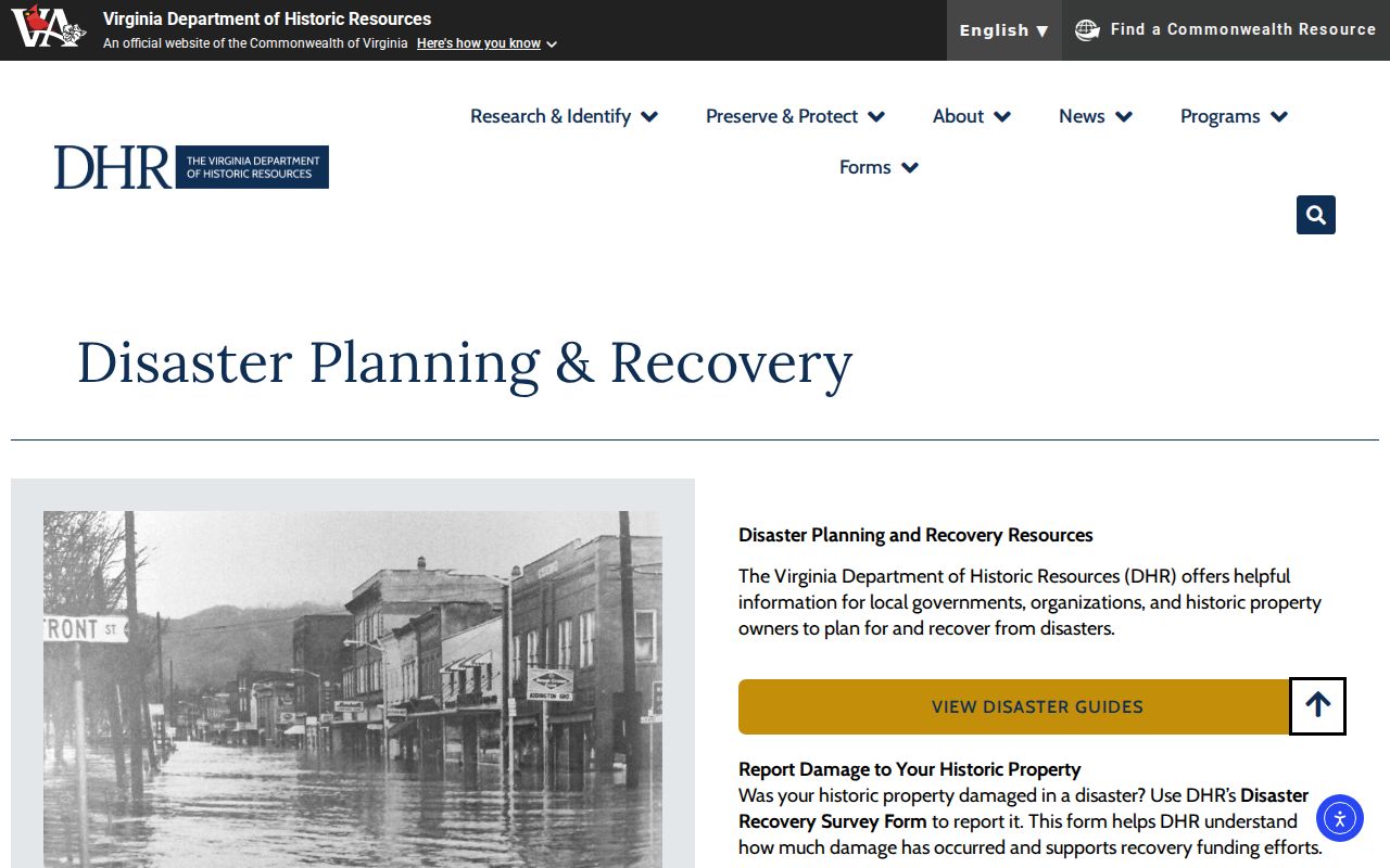
The image shows the broader DHR recovery section, not a resident search result. VCRIS can add a historic-resource ID or district layer to a block study. The Library of Virginia's WPA inventory, its map collection index, Sanborn maps, and dated directories can describe buildings and public institutions in earlier years.
Virginia history also crosses modern county and city lines. An older record may belong to a predecessor locality after a boundary change or annexation. Preserve the locality printed on the source, then use the current parcel and archival index to identify where the record is held now.
Virginia Parcel Records and Compiled Tools
Official parcel and deed sources provide a known custodian, field names, and a record date. Compiled neighbor-search products may combine public parcel data with other address associations, but they do not establish a legal boundary, current occupancy, or a relationship. Keep a third-party summary separate from the source record that can be checked.
| Source type | What it can answer | What it cannot prove |
|---|---|---|
| Local assessment and VGIN parcel data | Parcel identifier, owner-of-record lead, mapped shape, and situs or mailing fields | Who currently occupies every home or belongs to a household |
| Clerk deed and plat records | Recorded parties, legal description, shared boundaries, and transfers | Informal use of land or an unrecorded relationship |
| Compiled neighbor tools | A broad lead to an address association that may need checking | Accurate current presence, legal limits, or personal connection |
For a defensible block map, return from any summary to the locality parcel card, clerk index, or recorded plat. A clean chain from a named custodian is more useful than a larger set of unverified names.
What a Virginia Neighbor Search Cannot Show
A parcel map identifies land and owner-of-record fields, not the people inside a home. It does not provide utility accounts, delivery information, an all-household list, or private association membership. DMV data is restricted under Virginia Code § 46.2-208, and voter rules remove protected addresses. The Virginia Address Confidentiality Program gives eligible participants a substitute address and mail-forwarding protection; do not attempt to reverse it.
Use public records for a narrow personal or civic question, and stop when the record reaches a protected address, minor, or confidential intermediary. If a search returns no result, ask the relevant custodian about its coverage and public copy process rather than trying to identify a hidden person through another source.
Lawful use. Virginia parcel and civic records support personal, family-history, and public-interest research. Do not use them to watch, stalk, harass, or harm another person.